4495
THREE ANTIQUE MAPS

LOT DETAILS
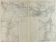
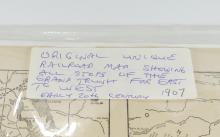
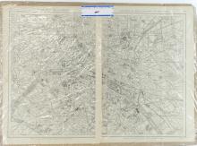
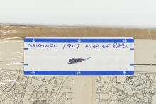
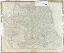
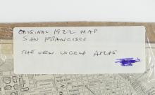
Including a unique railroad map showing all the stops of the Grand Trunk System from East to West, circa 1907; from the New World Atlas, a 1922 map of San Francisco; and a map of the city of Paris, France, 1907 - each unframed, measuring approximately 38.1 x 50.8cm (15 x 20in)