4521
16 ANTIQUE MAP PLATES OF U.S. STATES, 1890

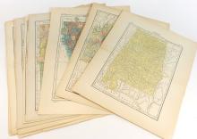

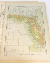
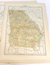
LOT DETAILS
The following maps of certain U.S. States were printed in the Encyclopedia Britannica, Ninth Edition, of 1890; the first printing of the Ninth Edition was in 1875, and where applicable, a notation is added to the Plate where the map (shown below with *) was updated based on the Census of 1880 and any subsequent survey, otherwise they reflect 1875; each map indicates the Volume and Plate numbers:
Alabama*, Arkansas*, California, Colorado, Connecticut, Florida, Georgia*, Indiana*, Illinois*, Iowa, Kansas, Kentucky, Louisiana, Maine, Maryland, Massachusetts
In good condition with no tears to image, showing centre page fold and peripheral age toning - image sizes 19.5cm x 27.5cm (7 5/8 x 10 7/8in)