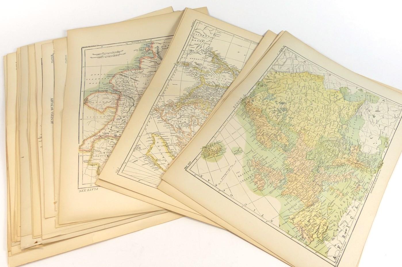
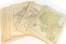
38 ANTIQUE MAP PLATES OF THE WORLD, 1890
LOT DETAILS
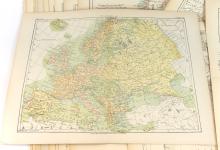
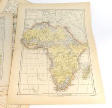
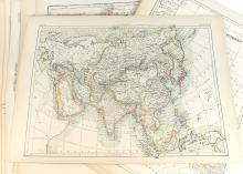
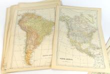
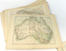
The following maps of the World were printed in the Encyclopedia Britannica, Ninth Edition, of 1890, and the first 5 maps represent the main regions of the World: Europe, Africa, Asia, North America, and South America; the following 33 maps represent various countries and smaller regions of interest, including such notables as:
1. The Himalaya plate is a rare and important map print by W. and A.K. Johnston of Edinburgh and London, one of the major map publishing houses of the 19th century; William Johnston (1802-1888) and his brother Alexander Keith Johnston (1804-1871) originally trained as engravers and founded their firm in 1826; Alexander became Geographer Royal for Scotland in 1843, whilst William became Lord Provost of Edinburgh, and subsequently knighted by Queen Victoria
2. This is a rare map print by J. Bartholomew, Edin.; John George Bartholomew (1860-1920) was a Scottish cartographer and geographer; by way of Royal Warrant, he was Cartographer to the King (Edward VII); the notation within the image reads "Sketch Map Shewing the Administration and Political Divisions of the Dominion of the Hungarian Crown according to Article XXXIII of the legislature of the year 1876, including Croatia & Slavonia, and Croatian-Slavonian Frontier Districts"
3. This rare map print is from the "Story of Burnt Njal" by Sir George W. Dasent, as the notation beneath the map states; George Webbe Dasent (1817-1896) was a British and Oxford educated lawyer and translator of folk tales. Burnt Njal is from the Icelandic saga of the Njals
4. This rare map is interesting in that it shows British territory in the Victorian era extending into Burma
5. This rare and important map print is by Jas. Sibree, Jnr. (1836-1929), civil engineer, author, and English missionary; the map is very interesting in that it shows as yet unexplored regions throughout the island of Madagascar even through the late 1880's
Presented in good condition with no tears to image, showing centre page fold and peripheral age toning - image sizes 19.5cm x 27.5cm (7 5/8 x 10 7/8in)