9 ANTIQUE MAP PRINTS, 1890


LOT DETAILS
The following antique prints were published in the Encyclopedia Britannica, Ninth Edition, of 1890:
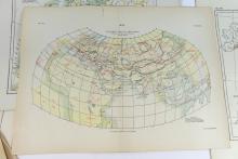
1. Rare print of Ptolemy’s Map of The World (RED), compared with the actual positions (BLACK) after H. Kiepert, Plate VII, Vol. XV; Heinrich Kiepert (1818-1899) was a German geographer recognized as one of the more important scholarly cartographers of the second half of the 19th century
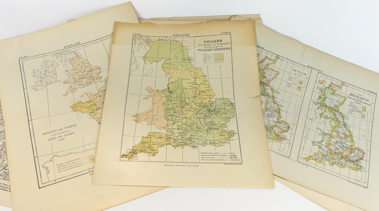
2. 3 maps of England/Britain in the years 597 AD, the 10th and 11th centuries, and after William the Conqueror, from 1066 to 1081
3. 2 maps of England and France, in the years 1154 and 1360
4. 3 maps of Europe, In the Times of the Romans, Charlemagne (768-814) and the Crusades (11th to 13th Century)
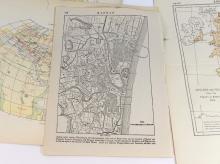
5. Plan of the City of Madras, India - the map shows the location of Fort St George on the coast which was built in 1639 by the British East India Company
Presented in good condition with no tears in images, showing centre page fold and peripheral age toning - image sizes various